Mount Washington in November

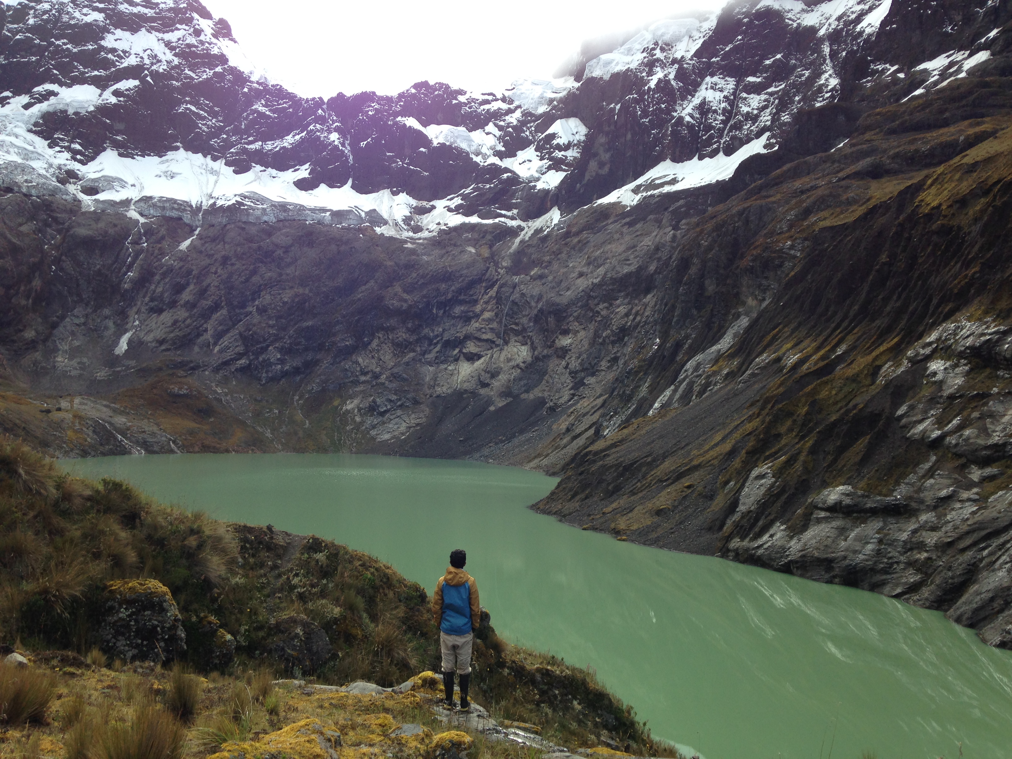
Yes, it’s possible to hike Mount Washington in November. At 6,288.2 ft (1,916.6 m), Mount Washington is the highest mountain in New Hampshire and Northeastern United States. It is known for having the worst weather ever recorded in history (231 miles per hour, recorded in 1934). This record was held for more than 60 years. Although not very technical and high in altitude, Mt Washington brings a tremendous challenge due to its rapidly changing weather conditions. Usually, climbing this mountain in November with not much preparation in advance would have been questionable, but we found a good weather window on November 7th.

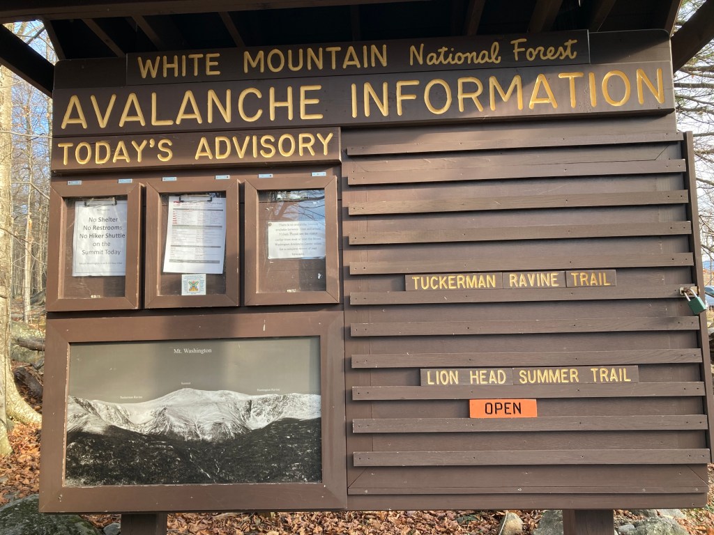
Brittany and I packed our backpacks with the usual; microspikes, gloves, warm layers of clothing, trekking poles, headlamps, food, plenty of water, etc. and off we went. The day was clear and not too cold for a New Hampshire November day with about 49 degrees when we started. There are different trails to take and we went for the Lion head trail as the Tuckerman ravine trail had bad conditions with falling ice.

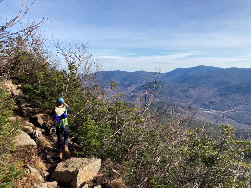
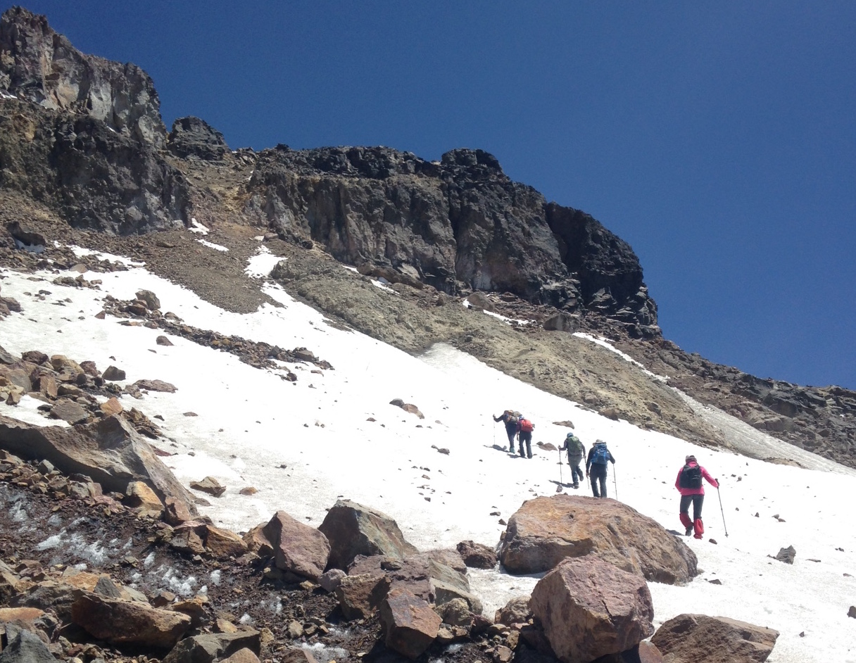
The beginning of the Lion head trail is pretty straight forward with many sections that are mostly flat. More than an hour into the hike, it’s when it starts to get more steep and with sections that require the use of hands. Almost no snow or ice at all up until this point. As we kept ascending, we could see the surrounding mountains as the day was clear and with great visibility. On the left we started to see Tuckerman Ravine with little snow and more popular to hike during the summer months. Although, during the winter, skiers ski down this pretty steep slope.

The last section before the summit, reminded me in some ways of the Ecuadorian mountains, with a combination of rock scrambling and some steepness. Even though there was less exposure, the wind was blowing pretty strong for the most part. We saw about 20 people in this section and I could see that we were getting close to the top.

The summit of Mount Washington is like no other summit I’ve been to. At the top you’ll find; the Mt. Washington Observatory, a museum, a cafeteria, toilets, a gift shop, among other things. You can reach the summit by car, let me write that again, you can reach and summit by car. Oh, did I mention that you can also reach the top through the Cog Railway? it’s mind blowing to think about all of these things at the top of a mountain. It’s a very touristy place. Fortunately, all of these attractions are only open during the summer so there were not too many people at the mountain.

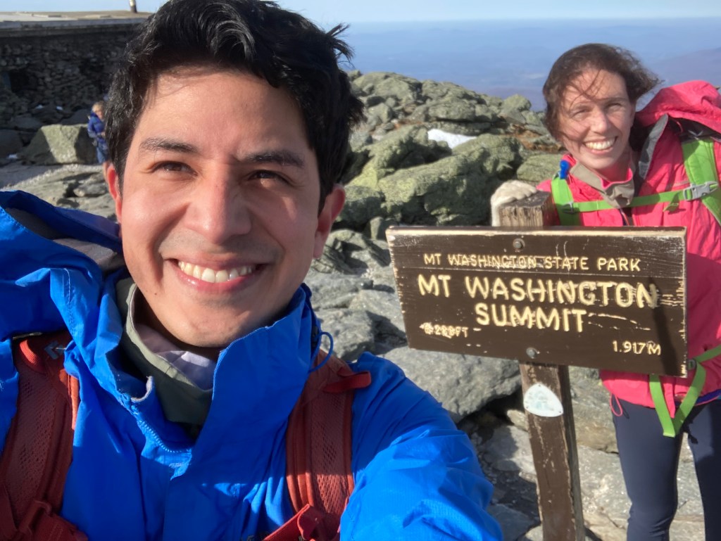
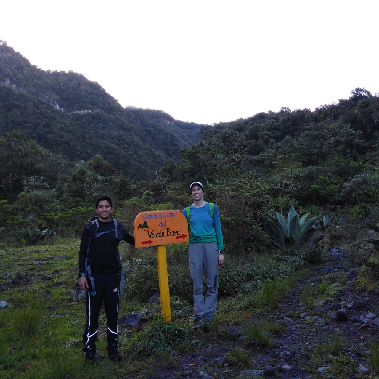
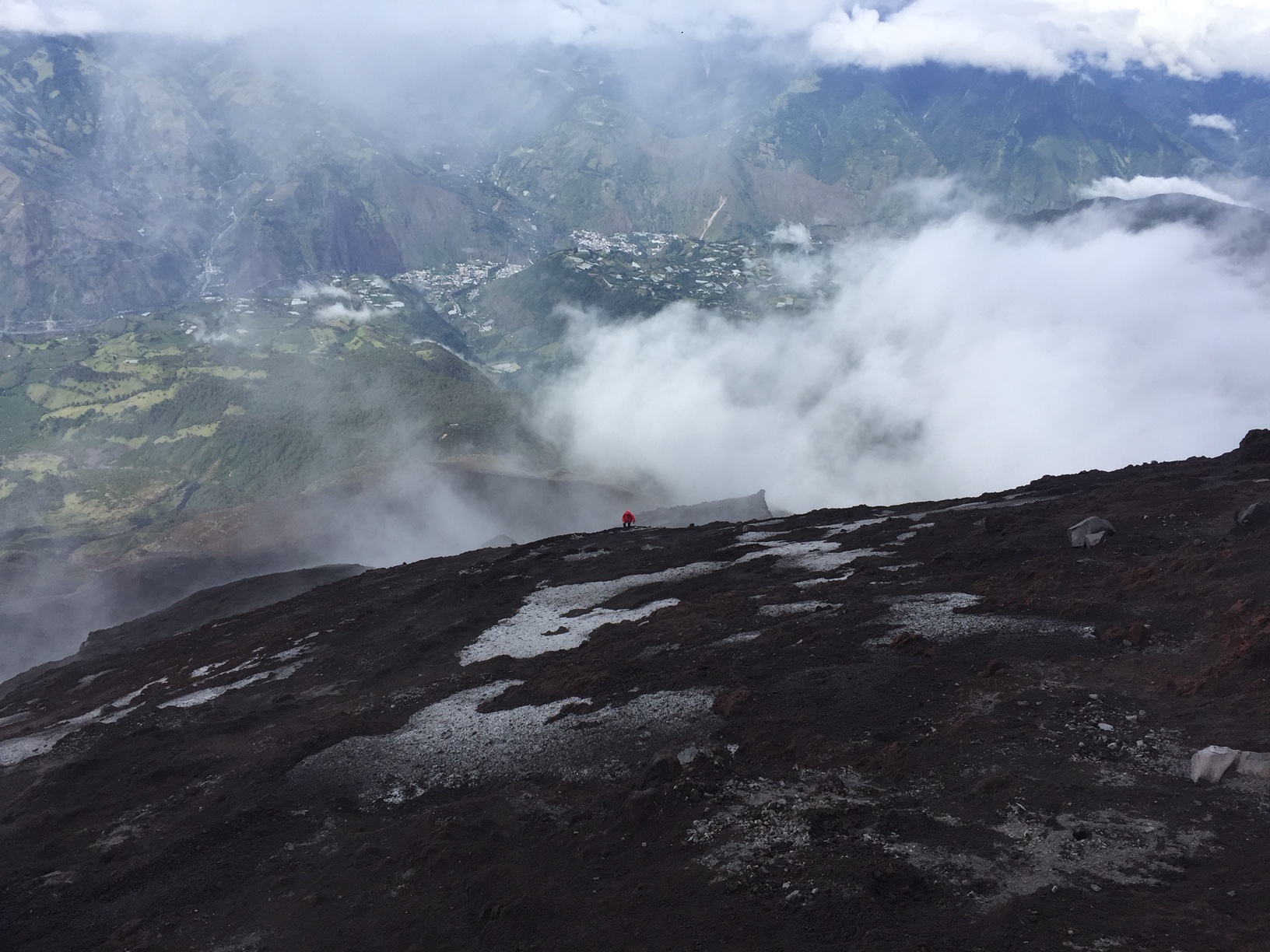
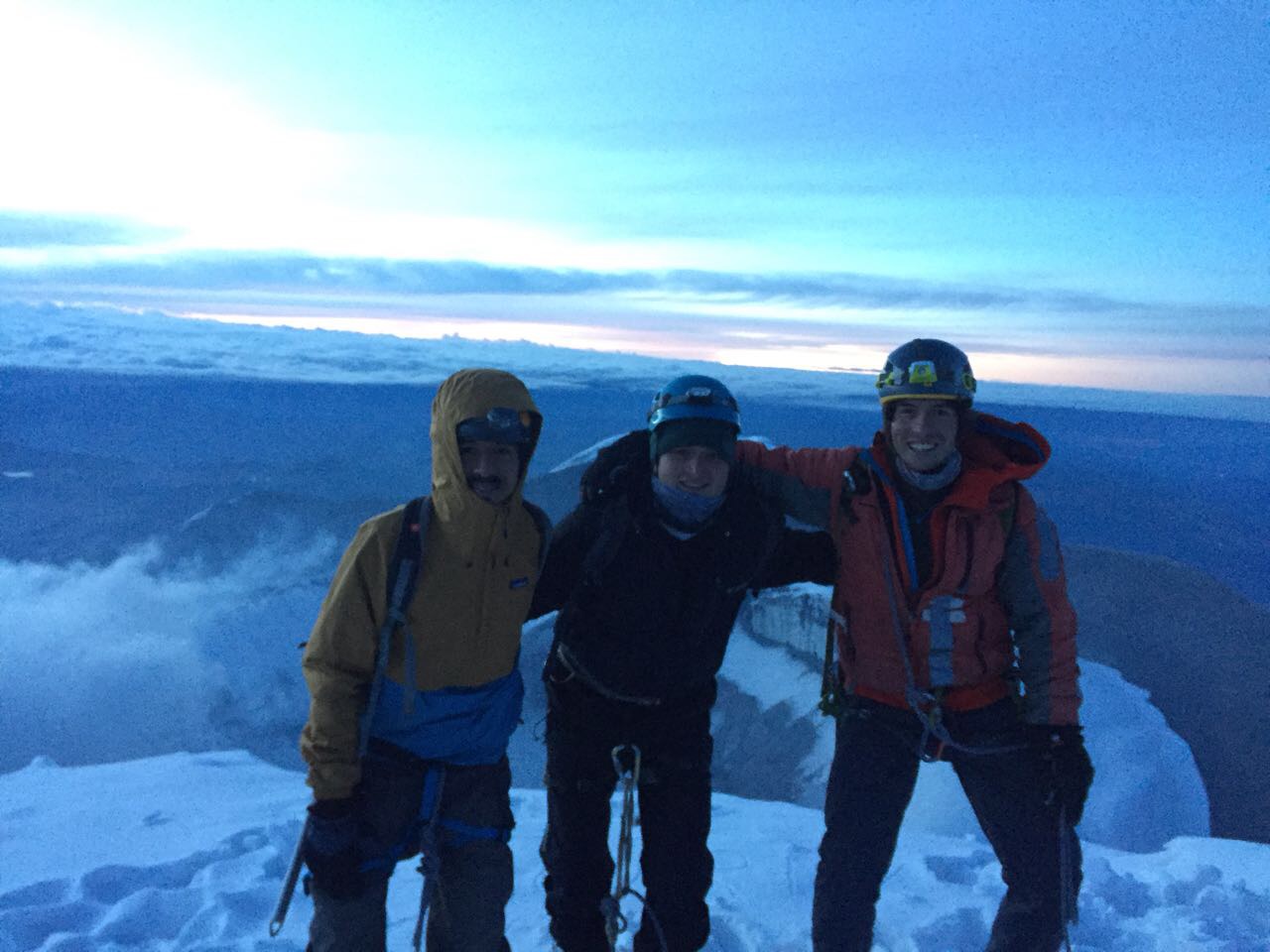
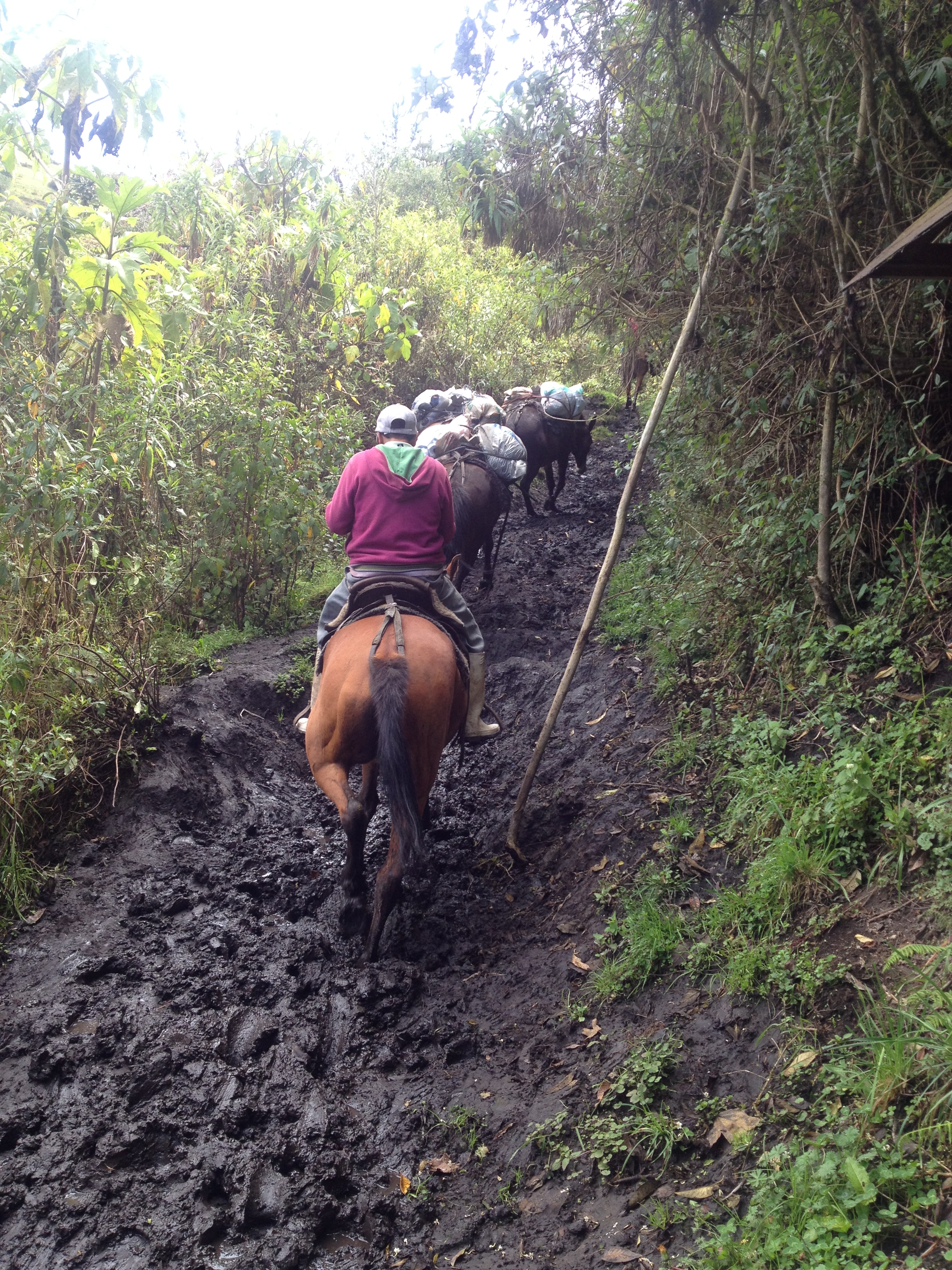
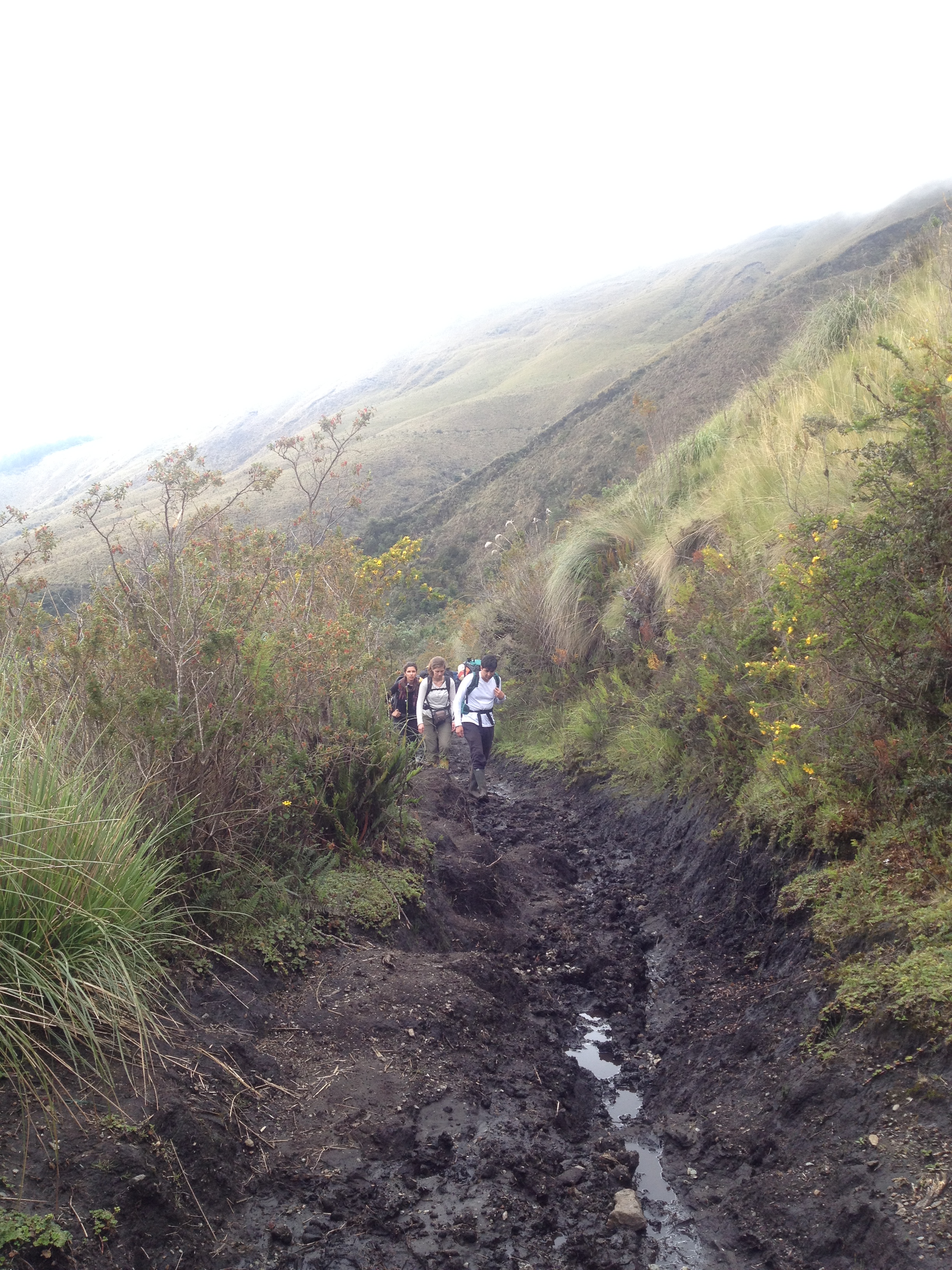
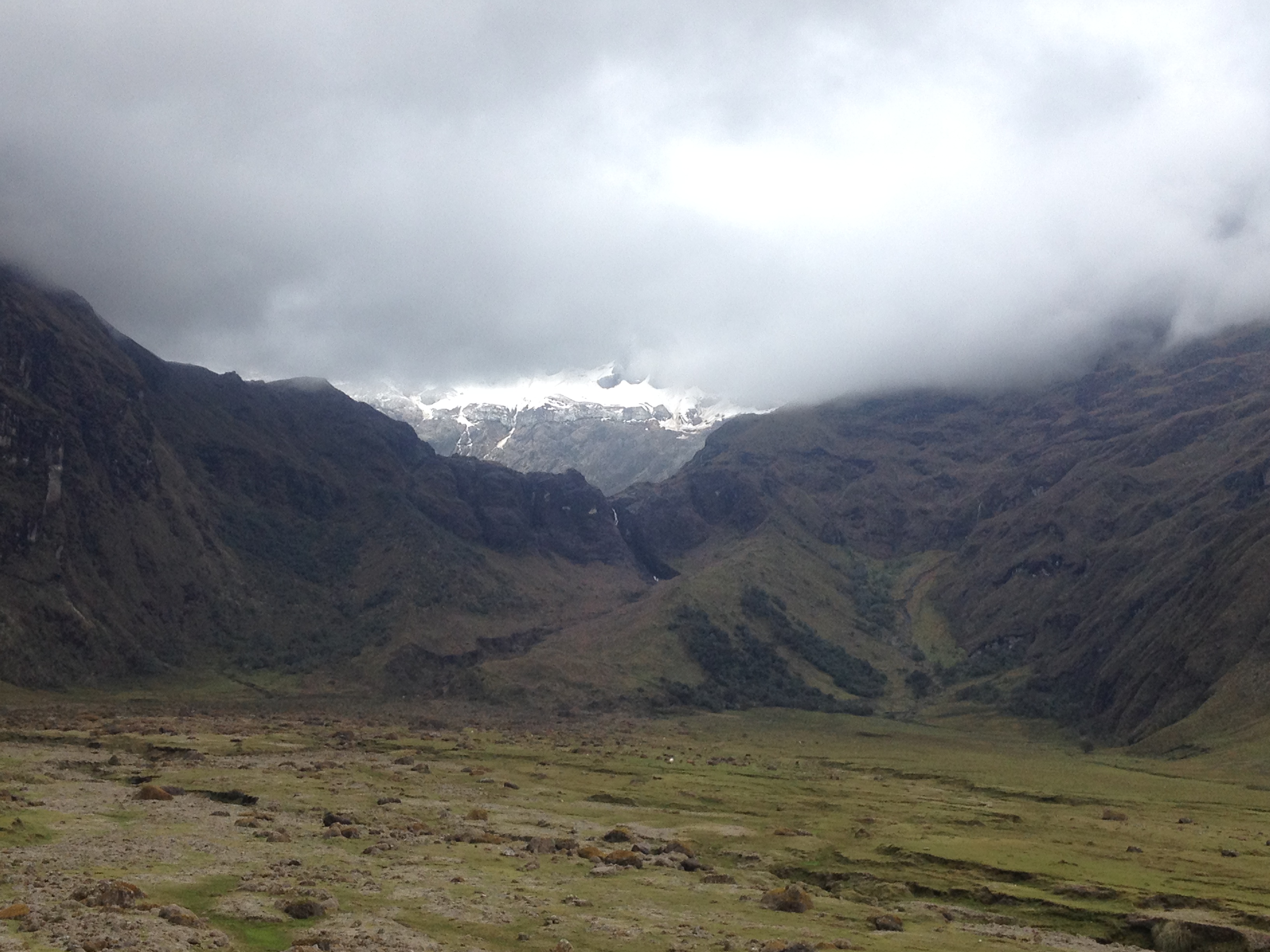
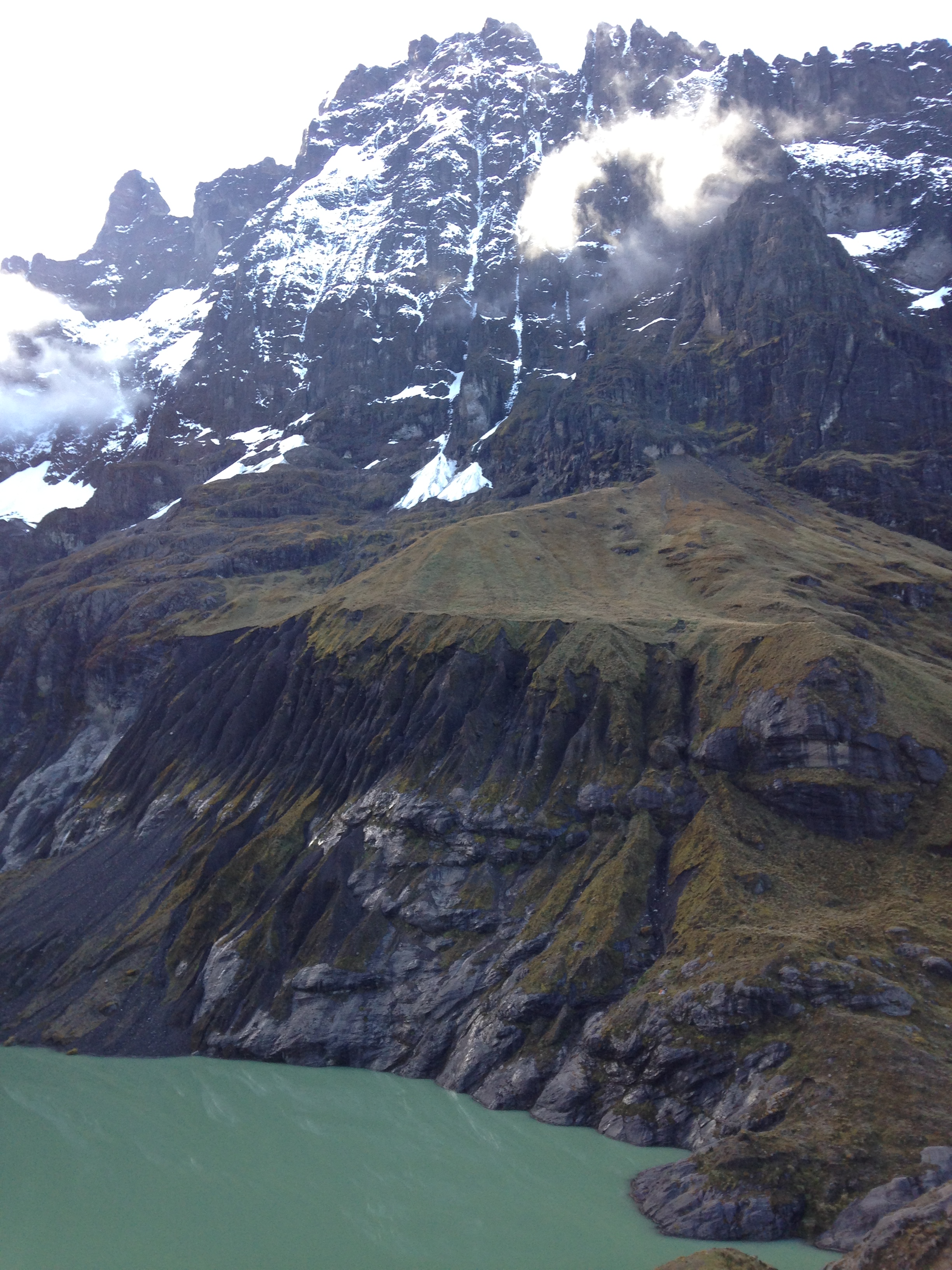
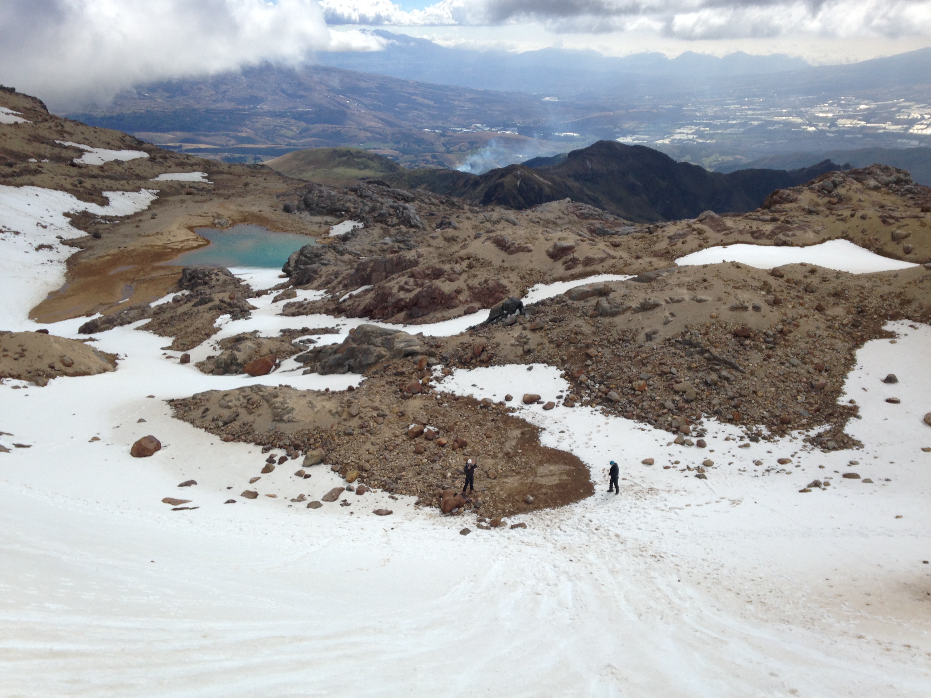
We lucked out at the summit with 40 degree weather for a November day and not much wind blowing. In the end, we didn’t have to use all of our layers. Brittany and I started 2020 with Chimborazo, the highest peak in Ecuador and now we’ve wrapped up the year with the highest peak of New Hampshire. As I was standing on top of this mountain and seeing the lower peaks, my mind was filled with thoughts about the weather conditions of this mountain and potentially climbing it during the winter. I can see why so many have perished attempting this feat. It’s no small feat. The weather conditions can change very fast and you have to climb Mount Washington with respect and humbleness. I’m sure this will not be the last time I’m on top of this mountain, as it will certainly be a good place for training for the bigger peaks in the near future. 

Volcán Barú

When you think about climbing mountains, you think about the Alps, the Andes, and the Himalayas. These are the places that host some of the most well-known mountains, the highest ones, the ones that everyone wants to climb. Yet there are countries where you wouldn’t normally think about climbing mountains. 

Brittany and I decided to visit Panama for a week during this past summer. As we were looking up places to visit like Bocas del toro, Casco Viejo in Panama City, etc. we stumbled upon Volcán Baru. At 3,475 meters (11,401 ft) it is Panama’s highest peak. It was quite difficult to find relevant information in Panama City about the logistics of climbing Volcán Barú and we were recommended by our hostel’s staff members to travel to the town of Volcán where we would find plenty of information. 

We took a bus from the main terminal in Panama City to David (where we would take transportation from there to Volcán) for the 6-hour bus ride. It turned out to me way more than that as we had a flat tire and stopped for lunch on the way there. As we arrived at the confusing bus terminal of David, we finally found a bus going towards Volcán. After an hour and a half, we arrived at around 9pm in what looked like a ghost town. We walked towards the main park/square of the town and found a hostel. It wasn’t the best hostel we’ve stayed at but given the circumstances, tiredness and time, we decided to stay there. 

The woman who greeted us at the hostel had no clue about the logistics of climbing Volcán Barú, but thankfully her sister did! She contacted Jose, a guide who has been climbing Volcán Baru for many years. He agreed to pick us up the next morning and climb with us to the summit. 

da9c96b7-8e93-4a75-a920-32aa34116405

Although not a technical mountain, Volcán Barú can be long and challenging if attempted in one day. Usually, the hike is completed in two days, most people camp close to the crater and attempt the summit push the next morning. 

The day was clear and warm with a bright sun for most of the way up but as we were approaching the crater, it started getting colder and windier. The vegetation was different from the paramo that we are used to in the Ecuadorian mountains and the usual loose volcanic rock when approaching the summit. 

IMG_6146

Jose was a good sport, always checking in on us and asking us if we needed a break. Our timing was good and when we arrived at the crater he told us that the actual summit was about half an hour more. We were tired but did not hesitate to continue. Impressed, he led the way and we stood at Panama’s highest point 30 minutes later. In total, it took us about 5 hours to reach the summit. 

IMG_6150

It was very foggy at the top but you are not always lucky with a nice and clear view at that altitude. At the end of the day, reaching the summit and getting back home safe is all that matters. As we told Jose, in Ecuador, we have the saying when you climb mountains that goes “Cumbre o Muerte”.

Tungurahua Volcano

Just 2 years ago, Tungurahua was in volcanic activity and erupted. The idea of climbing it was out of the question back then but today its accessible to visitors and climbers. Its name comes from the Quechua language and it means “Throat of Fire”. As Ecuador’s ninth highest peak at 5,023m, the climb is usually done in 2 days but my friends and I decided to give it a shot in 1 day.

The climb begins by Pondoa, just before reaching Baños (about 2.5 hours from Quito). Be well prepared to carry the essentials for bad weather (waterproof jacket and pants, gaiters, hiking boots, headlamp, plenty of water, etc.). The climb begins with a humid and muddy terrain that is steep and it took us about 2 hours to reach the refugio. Most people sleep over at the refugio and continue the climb the next day.

IMG_7099
The start of the hike with muddy and humid terrain

This refugio is pretty much abandoned and does not have the facilities like the Cotopaxi refugio. Although there was drinkable water there and it helped a lot. After a 15 minute break, we continued the actual climb to the top. Its very steep and sandy (we call it arenal) with lots of loose rocks. It seemed endless but you have to take it slowly, step by step. Sara and Brittany took the lead with other people and Hernan and I stayed behind at our own pace. After a while, it became impossible to see them with all the fog.

IMG_7114
Beginning of the steep part after the refugio

For moments I felt that I was too tired to continue but we took short breaks for snacks and water to get some more fuel and kept going. As mentioned before, there are lots of loose rocks so it’s important to wear a helmet in the “arenal” section. This is a serious climb, especially if you do it in one day. It’s a climb that gets very mental as you have to motivate yourself and others to continue.

IMG_7129
Clearing up a bit with Baños in the background

As Hernan and I were reaching the top, we saw some people coming down and Brittany and Sara were super relieved to see us. They turned back with us to see the crater but it was foggy so we couldn’t really see it. We took some photos and we started to descend. I was super tired but happy to reach the crater (we couldn’t continue to the summit (about 30 more mins) as it was getting late.

IMG_7138
At the crater with Brittany, me, Hernan and Sara

After a few minutes of descending, it started clearing up completely and I told Hernan that we had to go back to see the crater. The girls continue descending. When we reached the crater it’s when I knew that all the pain and suffering of the climb had been worth it. I climb mountains not only because I’m passionate about them, but because it makes me feel more alive. Seeing that crater was a beautiful moment that I will always remember. If it was easy to climb with mountain, more people will do it. But it definitely pushed me to my limits, almost as much as my first big climb of Cayambe.

IMG_7173
The crater all cleared up

The descent was brutal, especially for the knees. The climb down after the refugio was the most painful and challenging one for me, as my legs were burned out and we had to climb in the dark with headlamps. Another volcano, another goal. 10.5 hours of climbing in one day. The pain was worth it but I don’t think I’ll climb Tungurahua in the near future. Maybe next time it’s better to climb it in 2 days and make it to the main summit.

Cotopaxi (5,897 m)

At 5,897 m (19, 347 ft), Cotopaxi is one of the highest active volcanoes in the world and Ecuador’s second highest peak. Due to volcanic activity, access to it’s summit was closed for over 2 years. Last month, conditions of the volcano went back to normal and its summit was re-opened for climbers.

Since I started climbing mountains a year and a half ago, Cotopaxi was always present in my mind. Being the most iconic peak in Ecuador, I was happy to be able to finally climb it.

Cotopaxi National Park is one the country’s main attractions, surrounded by beautiful Andes scenery of paramo, lakes and volcanoes. It’s located about an hour away from Quito and also the location of “Jose F. Ribas” refuge where most climbers spend the night before attempting the climb.

IMG_0236
José F. Ribas Refuge

A night at the refuge with dinner and breakfast included is $32. Bring your own sleeping bag and you’re all set. Mountaineering regulations in Ecuador require that all people must climb with a certified guide as well with a permit done through a tourism agency. The refuge was packed with climbers from all over the world. Cotopaxi is Ecuador’s most popular peak to climb.

After a solid “locro de papa” (potato soup) I tried to get some sleep with little success. Before a big climb, many things go through my head and it’s a bit hard to get proper rest. I was woken up at 11:15pm and it was time to get ready. My partners for this climb (Hernan and Jorge) were the same as my previous big climb of Illiniza Sur.

IMG_0206
Locro de Papa “4,864 msnm”

The night was young and calm and the climb begins with a hike up through sand and rocks. Crampons were not necessarily just yet. I looked up and could see a canal of lights, head torches of the climbers who started their summit push before us. I looked down and same story. As we were finally reaching the glacier, we saw to our left what looked like fireworks, a beautiful scenery of thunderstorms in a far distance. My body wasn’t warm yet and I felt a bit tired.

IMG_0212
Climbers getting ready in the dark

Putting on your crampons can take some time if you’re not use to it. So we took advantage of this and went ahead of most groups. One step up, one deep breath. There is plenty of time to think while at the mountain, it keeps your mind busy while putting yourself to the limit. Cotopaxi is an active volcano to the point of almost erupting not too long ago and as we were getting closer to the summit, we passed through a couple of crevasses that produced a smell of sulfur. I began to feel nauseous for moments but luckily there were strong winds that made the odor go away.

IMG_0245
Fellow climbers taking a break

We made it to the summit ahead of time. It was 5:09 AM. Still dark and very cold. Many of the groups that arrived around the same time, decided to go back down but we stayed until we could catch some light to see the crater of the volcano. The wait was worth it as we had amazing views of Antisana, Reventador and Chimborazo. Another great and beautiful ascent but success is when you finally get home safely. Thank you Taita Coto. I’ll see you soon but not yet.

IMG_0243
Myself, Hernan and Jorge standing in the summit of Cotopaxi

Illiniza Sur (5,263 m)

It was time to climb Illiniza Sur, one of Ecuador’s most technical climbs at 5,263 m (17,267 ft). It’s located about an hour drive from Quito at Reserva Ecologica Los Illinizas, next to it’s neighbor Illiniza Norte (5,126 m / 16,818 ft.).

As a high altitude peak, the climb starts before sunrise so we headed on Friday afternoon to the refuge to get some rest beforehand. Rainy season usually ends in April but it has been raining a lot this month of May. Once we arrived at “La Virgen” parking lot, it started pouring and we had to wait an hour in the car. From “La Virgen” parking lot, there is a 2 hour hike up to “Nuevos Horizontes” refuge, the oldest mountain refuge in Ecuador.

IMG_9933
Nuevos Horizontes Refuge (Picture taken the weekend before when I climbed Illiniza Norte).

We arrived at the refuge at 8:30 pm, had some potato soup and chicken with rice. People can bring their own food and cook it at the refuge but we decided to eat there in order to lower the weight of our backpacks. After preparing our gear and backpacks, we hit the bed in our sleeping bags. I only managed to get a couple of hours of sleep and woke up at 4:00 am. After some hot tea with bread, we were on our way to climb Illiniza Sur. It takes about forty minutes before reaching the glacier/wear crampons. This initial part of the “normal route” has high possibilities of rock fall so our guide Jorge recommended my friend Hernan and I to move fast.

IMG_4410
Just before the glacier part of the climb

The day seemed to be with good conditions and at sunrise we had beautiful views of Illiniza Norte. The first snow/ice ramp was of 50 – 60 degrees. It was particularly tiring to start the glacier section with this kind of effort and I used different climbing methods like the “French technique”.

IMG_4412
Hernan with Illiniza Norte on the background

After this part of the climb which seemed long, we passed through a hidden crevasses section where falling was not an option. During the last part of the ascent, clouds began to emerge but winds were relatively low. I could see the summit and at this point, I was too tired to think straight. My focus was on taking every step slowly.

IMG_0121
Crevasses section

IMG_0120
Steep ice ramps

When I started climbing almost a year ago, I had a special respect for this mountain. It’s no place to learn. It’s no place to make mistakes. It can be dangerous and has proven to be fatal. Standing on the summit of Illiniza Sur was my biggest mountaineering accomplishment yet. It’s no small feat. I was tired but happy. The descent of every mountain is where most accidents happen. Usually it’s the most difficult part of the climb. I knew that it wasn’t over until we got back home safe.

IMG_0118
Illiniza Sur summit at 5,263 m

El Altar

Due to it’s relative remoteness, El Altar or Capac Urcu is yet to become a top destination for locals and foreigners in Ecuador. Nonetheless, the muddy and long hike to reach this extinct volcano and see the iconic “Laguna Amarilla” is definitely one of the most amazing places in the Andes.  The Spanish named it El Altar because of it’s resemblance and each of it’s peaks has religious names.

To access this volcano, the trail begins at hacienda Releche (located about an hour away from Riobamba). From there, there is a 5-hour hike through a very muddy trail that will take you to the hut or refugio. The trail is well marked so it’s difficult to get lost. During this hike, you’ll traverse throughout a beautiful variation of vegetation; tropical climate and paramo that also includes crossing small rivers.

img_7488
Arrieros transporting goods to the refugio

img_7497
Parts of the muddy trail

It had been raining a lot for the past few days which is usual around this place so it’s extremely important to wear rubber boots or waterproof hiking boots. You will certainly get wet and muddy! After almost 6 hours of walking through deep mud, we could finally see the refugio and a cloudy background of one Ecuador’s most incredible places. There is also the possibility to hire “arrieros” to carry all your belongings in horses.

At the refugio, there is no electricity so you’ll have to carry your own food/snacks, sleeping bag, extra dry clothes, flashlight, etc. A night at the refugio and hacienda releche starts at about $15 per person and $2 to use the kitchen.

img_7508
View of El Altar from the refugio

The next day at 6am, we started the final hike to reach “Laguna Amarilla” and after almost 2 hours of going uphill, we made it. The day was clear and somewhat sunny with almost no wind or too much coldness.

img_4354
Some of the technically difficult peaks of the volcano

img_4398
Capac Urcu

When you are lucky enough to see a place like this one, there are no words to really describe it. You just experience it in that particular moment and truly feel connected with nature and its beauty. On the right, Obispo summit stands as the tallest of the many peaks of this volcano with a reflection of the volcano on Laguna Amarilla. El Altar is one of the most technically difficult peaks in Ecuador, if not the most. It’s easy to see why.

Carihuairazo (5,018 m)

Overshadowed by it’s neighbor Chimborazo (the highest peak in Ecuador), Carihuairazo is not an often climbing destination. It’s located past Ambato and about 3 hours away from Quito and it’s also a good acclimatization peak since it rises over 5,000 m or 16,000 ft.

It has lost most of it’s glacier in the past 25 years and it’s expected to disappear completely in less than 10. Climbing this volcano is usually done in 2 days with camping included but we did it in one day with Zona Verde’s Jaime Gallardo.

img_2846
View of it’s neighbor, Chimborazo

We left Quito around 4:30am and after stopping for a quick breakfast in Ambato, we started the hike up the mountain at 9:00am. Crampons and harness are not necessarily required anymore as the glacier part is relatively short. However, trekking poles for balance and Gore-Tex boots are definitely a must.

img_2861
Going up the almost extinct glacier

Since the day was clear, we had the opportunity to see both Carihuairazo – Chimborazo perfectly and it took us about 2 and a half hours to reach the actual mountain. It’s not a technical or difficult climb but good scrambling skills are always a plus. After passing the short glacier part, there is short steep part with loose rock. Get past this and you’ll be rewarded with reaching one of the summits.

img_2875
At the summit with Chimborazo on the background!

img_2884
Views from the summit

At the summit, we had incredible views of Chimborazo, El Altar and the surrounding valleys and mountains. The 6-and-a-half-hour expedition was definitely worth it! Climb Carihuairazo soon as the glacier with certainly disappear shorty.

Cayambe Volcano

There is no other feeling like being in top of a mountain, it’s hard to explain in words. But I’ll try. For myself, its one of the closest and greatest connections that humans can have with nature. Every mountain is different with it’s own beauty and although making it to a summit might be challenging, the reward it’s surreal. It’s a moment of peace, a combination of joy and frustration, it’s a moment of greatness. There is no other feeling like that.

I started climbing mountains just two months ago and I do regret not climbing before in life but it’s never too late to do it. I’m lucky to live in Quito, located in the highlands and surrounded by many beautiful Andes mountains that are relatively close and easily accessible.

It never really crossed my mind what I was aiming for but my first mountain experience was at Ruco Pichincha. I will not go into details of my previous summits and weekly cardio training but it included climbing El Corazon, Pasochoa, Ruminahui (all of these mountains between 4200 m and 4700 m) and the glacier school in Cayambe. I would recommend to summit a 5000 m mountain like Illiniza Norte for acclimatization before attempting Cayambe. Drinking plenty of water the days before for hydration is always a good idea before climbing.

cayambe 12
Reaching Cayambe on training day

cayambe 11
Glacier school – Cayambe

The day to face my biggest mountain yet, finally came. On August 21st of 2016, I was going to climb Cayambe. My friends and I reached the refuge or base camp at 7:30 pm and is about a 2.5-hour drive away from Quito. Our guide was already there with other groups of maybe 15 people. We cooked some pasta and tried to get some rest. It was a bad idea to sleep outside in a tent as it was super windy and I really managed to get zero sleep. A night at the refuge with food included is $30 USD.

At 11:30pm we started getting ready, putting on our equipment, harness, boots, etc. I had some hot tea with coconut cookies. Personally, I don’t recommend eating too much food before going up but that depends how your metabolism works and after putting our helmets on with headlights, we were all set to begin. Cayambe is a one-day climb, so you can carry only the essentials in your backpack (water, snacks like granola bars or fruits, extra gloves/jacket). There is about 45 minutes of hiking up until you reach the glacier so the crampons were not necessary from the beginning.

When we started hiking up, I felt confident and not really tired even though I did not get any rest. The night was pretty yet windy, filled with stars and with some moon light. As I kept walking and slowly getting tired, I started having different thoughts; that I could be home sleeping or questioning why I was doing this. But those thoughts, I tried to keep away from my head with some Bonobo and Los Fabulosos Cadillacs songs playing in my head.

We made it to the glacier and it was time to put our crampons on. It’s a very good idea to set them up with the right measures to your boots before departure so that you don’t waste too much time in the cold doing this. Our guide and three of us were in one group secured with ropes in our harnesses and I was the last one in line.

The climb continued and hiking up in snow and ice can be more tiring and challenging than the normal hiking. In front of me, as the night was still young, I could only see the lights of my fellow group members and two groups way ahead of us. 2 hours passed, 3 hours passed and in between a couple of short breaks for hydration. The altitude started having an effect. My chest was making more effort and overall, I was getting more and more tired. One step at a time, I thought. Keep climbing and I’ll make the summit in no time. 4 hours passed and for certain moments, I thought about giving up. At this point, we were passing by large crevasses that looked beautiful yet potentially deadly. We were lucky enough to climb through a safe route that did not demanded great technical challenges for us.

At 5 hours, the sun started to rise. It gave me hope to know that we were so close yet far away. The last hour of climbing was the hardest. A perfectly shaped triangle shadow formed in front of us. With some light, we finally started to see the morning beauty of going up a mountain.

cayambe 3

At certain moments, I felt that I could have trained more but I kept going, step by step. By now, our lights were turned off and it was time to put on our sunglasses. When I heard screams of joy from the first groups that made it to the summit, I felt relieve. I knew we were there.

cayambe 4
Our guide with other groups of climbers at the top

cayambe 8
Cayambe Summit

My body and mind were too tired to fully process this moment, I hugged our guide and my friends. We just climbed Ecuador’s third highest mountain at 5790 m or 19000 ft. I knew that by far, this was one of the hardest things that I’ve done in my entire life. But it was definitely worth it, so worth it. I sat for a bit to take some breath. The day was clear and perfect and I contemplated the “Avenue of the Volcanos” for a while. I could see in front of me; Antisana, Cotopaxi and further away, the mighty Chimborazo. On the other side, Reventador volcano was in action. It was surreal, it was one of the best moments that I’ve ever experience in my 26 years of life.